[DREAL OCCITANIE] Photos aériennes obliques - mission du 2 decembre 2010
Séries de photos aériennes obliques réalisées depuis 1970 par les services de l'état en charge du littoral.
Une couche comprend une mission.
Le lien sur les photos se fait par la colonne n_photo.
Simple
- Date (Revision)
- 2018-06-14T08:55:22
- Date (Creation)
- 2018-05-29
- Citation identifier
- https://catalogue.picto-occitanie.fr/geonetwork/srv/1dc9709f-28b4-419e-a2c1-d1ecd7057029
- Point of contact
-
Organisation name Individual name Electronic mail address Role DREAL Occitanie (Direction Régionale de l'Environnement, de l'Aménagement et du Logement Occitanie)
Owner
-
Plateforme Occitanie - mots clés géo
-
-
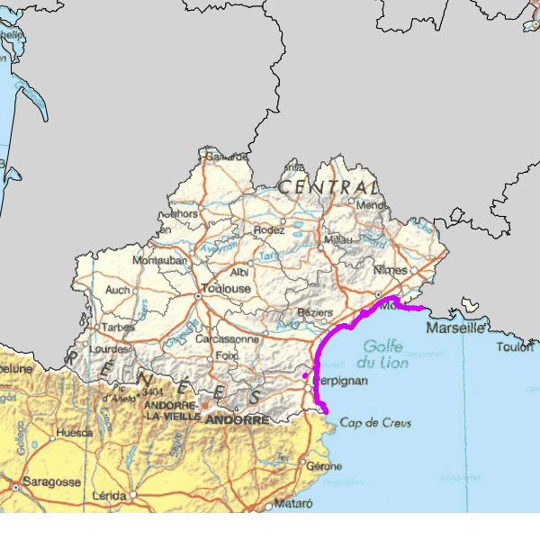
OCCITANIE
-
-
GEMET - INSPIRE themes, version 1.0
-
-
Régions maritimes
-
-
Domaines
-
-
PUBLIC
-
N_TOPOGRAPHIE
-
DREAL
-
-
Domaines
-
-
N_TOPOGRAPHIE
-
DREAL
-
PUBLIC
-
- Use limitation
-
Aucune condition d'accès ne s'applique. Utilisation libre sous réserve de mentionner la source (a minima le nom du producteur) et la date de sa dernière mise à jour
- Access constraints
- Other restrictions
- Other constraints
- Pas de restriction d'accès public
- Spatial representation type
- Vector
- Denominator
- 10000
- Language
-
fre
- Character set
- UTF8
- Topic category
-
- Oceans
- Description
-
OCCITANIE
))
- Reference system identifier
- EPSG / RGF93 / Lambert-93 (EPSG:2154) / 7.4
- Distribution format
-
Name Version utf-8
- OnLine resource
- Hierarchy level
- Series
Conformance result
- Date (Publication)
- 2010-11-23
- Explanation
-
cf. la spécification citée
- Pass
- Yes
- Statement
-
couches stockées par le service littoral de la DRE puis de la DREAL
mises aux règles ADL en mai 2018
Metadata
- File identifier
- 1dc9709f-28b4-419e-a2c1-d1ecd7057029 XML
- Metadata language
-
fre
- Character set
- UTF8
- Hierarchy level
- Dataset
- Hierarchy level name
-
Niveau 1
- Date stamp
- 2018-06-14T08:59:34
- Metadata standard name
-
ISO 19115:2003/19139
- Metadata standard version
-
1.0
- Metadata author
-
Organisation name Individual name Electronic mail address Role DREAL Occitanie (Direction Régionale de l'Environnement, de l'Aménagement et du Logement Occitanie)
Point of contact
Overviews
Spatial extent
Provided by
