Géologie harmonisée à 1/50 000 - Eléments linéaires divers en ex Midi-Pyrénées
Géologie harmonisée à 1/50 000 en ex Midi-Pyrénées
Infos et téléchargement sur : https://catalogue.picto-occitanie.fr/accueil/thematiques/geologie_harmonisee
Simple
- Date (Publication)
- 2015-09-09T00:00:00
- Date (Creation)
- 2014-10-01T00:00:00
- Date (Revision)
- 2017-10-17T15:45:27
Citation identifier
- Citation identifier
- https://catalogue.picto-occitanie.fr/geonetwork/srv/25405600-d48c-4e49-a0b7-61139e21e2e1
- Point of contact
-
Organisation name Individual name Electronic mail address Role Bureau de Recherches Géologiques et Minières (BRGM)
Custodian
- Theme
-
-
Régions de France
-
-
MIDI-PYRENEES
-
-
GEMET - INSPIRE themes, version 1.0
-
-
Géologie
-
- Theme
-
-
DONNEE GENERIQUE
-
MILIEU PHYSIQUE
-
- Theme
-
-
01 MIDI PYRENEES
-
- Theme
-
-
NIVEAU DIFFUSION
-
GRAND PUBLIC
-
-
Domaines
-
-
N_MILIEU_PHYSIQUE
-
PUBLIC
-
BRGM
-
- Use limitation
-
Utilisation libre sous réserve de mentionner la source (a minima le nom du producteur) et la date de sa dernière mise à jour
- Access constraints
- Other restrictions
- Use constraints
- Other restrictions
- Other constraints
-
Pas de restriction d’accès public selon INSPIRE
- Classification
- Unclassified
- Spatial representation type
- Vector
- Denominator
- 50000
- Language
-
fre
- Character set
- UTF8
- Topic category
-
- Imagery base maps earth cover
- Description
-
MIDI-PYRENEES
))
- Reference system identifier
- EPSG / RGF93 / Lambert-93 (EPSG:2154) / 7.4
- Distribution format
-
Name Version ZIP
- OnLine resource
-
Protocol Linkage Name OGC:WMS-1.1.1-http-get-map
https://datacarto.picto-occitanie.fr/wms? r_cgh_l_divers_r73
OGC:WFS-1.0.0-http-get-capabilities
https://datacarto.picto-occitanie.fr/wfs? r_cgh_l_divers_r73
WWW:DOWNLOAD-1.0-http--download
https://telechargement.picto-occitanie.fr/download/25405600-d48c-4e49-a0b7-61139e21e2e1 Accès au téléchargement des données
WWW:LINK-1.0-http--link
https://catalogue.picto-occitanie.fr/geosource/consultationWMS?IDT=4196452 Accès à la visualisation des données
WWW:DOWNLOAD:application/vnd.geo+json
https://catalogue.picto-occitanie.fr/api/data/25405600-d48c-4e49-a0b7-61139e21e2e1?srs=EPSG:4326 API Geojson
- Hierarchy level
- Dataset
- Statement
-
Produit final de l'harmonisation des cartes géologiques - Programme "Référentiel Géologique de la France" - Ensemble de 5 couches de données numériques vecteurs : formations géologiques ; contours géologiques ; éléments structuraux ponctuels ; éléments ponctuels divers
Metadata
- File identifier
- 25405600-d48c-4e49-a0b7-61139e21e2e1 XML
- Metadata language
-
fre
- Character set
- UTF8
- Hierarchy level
- Dataset
- Date stamp
- 2018-12-10T16:02:21
- Metadata standard name
-
ISO 19115:2003/19139
- Metadata standard version
-
1.0
- Metadata author
-
Organisation name Individual name Electronic mail address Role Bureau de Recherches Géologiques et Minières (BRGM)
Point of contact
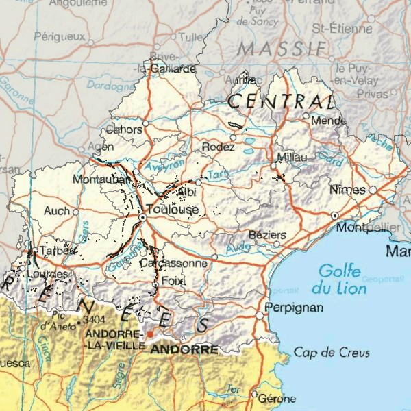
Overviews
Spatial extent
Provided by
