 Picto-Occitanie
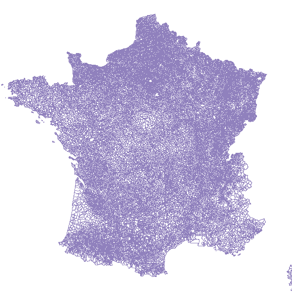
Métropole - Communes (GEOFLA 2014)
Découpage des communes de métropole, GEOFLA édition 2014
Simple
- Date (Revision)
- 2015-02-12T11:23:00
- Date (Publication)
- 2015-01-12T00:00:00
- Theme
-
- GEOFLA
- communes
- Region
-
- France
- Use limitation
- Base de données soumise aux conditions de la licence ouverte Etalab
- Access constraints
- License
- Use constraints
- License
- Classification
- Unclassified
- Spatial representation type
- Vector
- Denominator
- 1000
- Metadata language
- fre
- Character set
- UTF8
- Topic category
-
- Boundaries
N
S
E
W
))
- Distribution format
-
-
ZIP
(
)
-
ZIP
(
)
- OnLine resource
- https://catalogue.atlasante.fr/geosource/panierDownloadFrontalParametrage?LAYERIDTS=1266 ( WWW:DOWNLOAD-1.0-http--download )
- OnLine resource
-
MetropoleCommunesGEOFLA2014
(
OGC:WFS-1.0.0-http-get-capabilities
)
MetropoleCommunesGEOFLA2014
- OnLine resource
-
Téléchargement direct des données
(
WWW:LINK-1.0-http--link
)
Téléchargement direct des données
- Hierarchy level
- Dataset
- Statement
- Générée chaque année à partir de la BD CARTO®, la base de données GEOFLA® décrit le découpage administratif national (France métropolitaine et DOM).
- Feature catalogue citation
- File identifier
- 412bf98e-ef7b-4b82-b124-7165582767cd XML
- Metadata language
- Français
- Character set
- UTF8
- Hierarchy level
- Dataset
- Date stamp
- 2019-03-13T22:53:46
- Metadata standard name
- ISO 19115:2003/19139
- Metadata standard version
- 1.0
Overviews
large_thumbnail

thumbnail
Spatial extent
N
S
E
W
Provided by

Associated resources
Not available