 Picto-Occitanie
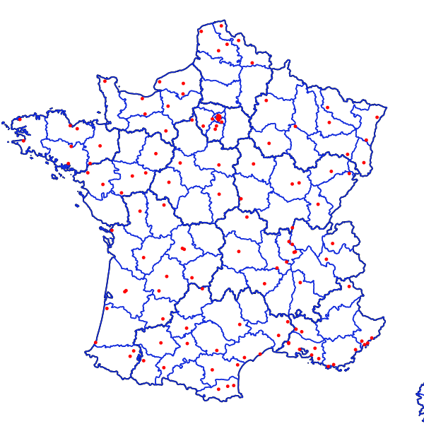
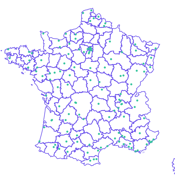
Métropole- Finess - Plateforme de répit (PFR)
Métropole- Finess - Plateforme d'accompagnement et de répit des aidants (PFR), capacité autorisée
Simple
- Date (Revision)
- 2015-09-22T15:29:25
- Date (Publication)
- 2014-10-15
- Edition
- 1
- Stratum
-
- Données vecteur
- GEMET - INSPIRE themes, version 1.0
-
- Bâtiments
- Adresses
- Services d'utilité publique et services publics
- Santé et sécurité des personnes
- Theme
-
- Spécifications partagées
- Spécification nationale
- Theme
-
- Services de l'Etat
- DREES - Ministère de la santé
- Region
-
- France
- theme.prodige.rdf
-
- Personnes âgées
- France
- theme.prodige.rdf
-
- Alzheimer
- France
- Personnes âgées
- Classification
- Unclassified
- Use limitation
- respect de l'intégrité de la donnée
- Use limitation
- Aucune condition ne s’applique
- Access constraints
- Other restrictions
- Other constraints
- Directive 2007/2/CE (INSPIRE), Pas de restriction d'accès public
- Spatial representation type
- Vector
- Denominator
- 10000
- Metadata language
- Français
- Character set
- 8859 Part 16
- Topic category
-
- Health
- Description
- France
N
S
E
W
))
- Geographic identifier
- France métropolitaine
- Reference system identifier
- http://www.opengis.net/def/crs/EPSG/0/2154 / France métropolitaine - RGF93 / Lambert-93 / 6.7
- Distribution format
-
-
ESRI Shapefile
(
1.0
)
-
ESRI Shapefile
(
1.0
)
- OnLine resource
-
MetropoleFinessPASA
(
OGC:WFS-1.0.0-http-get-capabilities
)
MetropoleFinessPASA
- Hierarchy level
- Dataset
- Statement
- Export de Finess, discipline =963
- Feature catalogue citation
- File identifier
- 5fb10018-153d-401d-85f4-3c11f3adef51 XML
- Metadata language
- Français
- Character set
- UTF8
- Hierarchy level
- Dataset
- Hierarchy level name
- lot de données
- Date stamp
- 2019-03-14T01:07:53
- Metadata standard name
- ISO 19115
- Metadata standard version
- 2003/Cor.1:2006
Overviews
Aperçu
large_thumbnail

thumbnail
Spatial extent
N
S
E
W
Provided by

Associated resources
Not available