 Picto-Occitanie
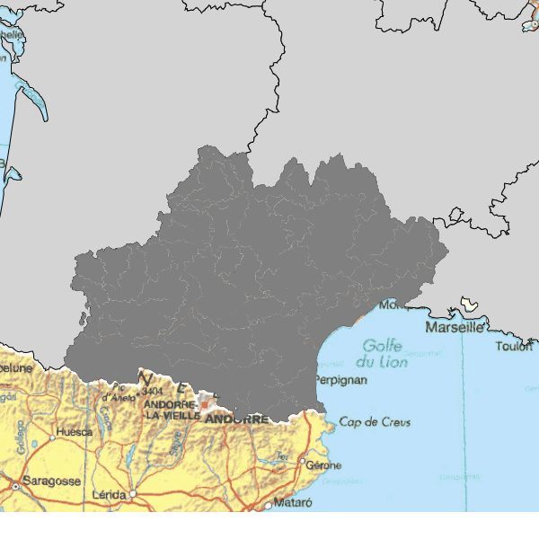
Régions agricoles en Occitanie
Les régions agricoles et petites régions agricoles ont été définies (en 1946) pour mettre en évidence des zones agricoles homogènes. La Région Agricole (RA) couvre un nombre entier de communes formant une zone d'agriculture homogène. La dernière actualisation date de 1981.
Simple
- Alternate title
- n_r_agricole_zsup_r76
- Date (Revision)
- 2019-04-25T11:29:36
- Date (Revision)
- 2016-02-29
- Date (Publication)
- 2016-02-29
- Edition
- 0
- Identifier
- 5d6c89f6-a4a4-4520-931c-f4487c365c53
Point of contact
DRAAF-OCCITANIE (Direction Régionale de l'Alimentation, de l'Agriculture et de la Forêt Occitanie)
Cité Administrative Bât E Boulevard Armand DUPORTAL
,
TOULOUSE cedex
,
31074
,
France
- GEMET - INSPIRE themes, version 1.0
-
- Unités statistiques
- Arborescence thématique de la COVADIS
-
- Agriculture/Zonages agricoles
- Keywords
-
- données ouvertes
- Plateforme Occitanie - mots clés géo
-
- OCCITANIE
- Keyword
- N_ZONAGES_AGRICOLES
- Keyword
- DRAAF
- Keyword
- PUBLIC
- Type
- Theme
- Date (Publication)
- 2025-12-08
- Unique resource identifier
- geonetwork.thesaurus.external.theme.prodige
- Use limitation
- Licence Ouverte 1.0 http://www.data.gouv.fr/Licence-Ouverte-Open-Licence.
- Use limitation
- Aucun des articles de la loi ne peut être invoqué pour justifier d'une restriction d'accès public.
- Access constraints
- Other restrictions
- Use constraints
- License
- Other constraints
- Pas de restriction d'accès public selon INSPIRE
- Spatial representation type
- Vector
- Denominator
- 25000
- Metadata language
- Français
- Topic category
-
- Planning cadastre
- Farming
- Boundaries
N
S
E
W
))
- Unique resource identifier
- 2154
- Codespace
- EPSG
- Geometric object type
- Surface
- Distribution format
-
-
UTF
(
8
)
-
UTF
(
8
)
- Units of distribution
- Accès aux métadonnées
- OnLine resource
- n_r_agricole_zsup_r76 ( OGC:WMS-1.1.1-http-get-map )
- OnLine resource
- n_r_agricole_zsup_r76 ( OGC:WFS-1.0.0-http-get-capabilities )
- OnLine resource
- Accès au téléchargement des données ( WWW:DOWNLOAD-1.0-http--download )
- OnLine resource
- Accès à la visualisation des données ( WWW:LINK-1.0-http--link )
- Units of distribution
- Autres ressources en ligne
- Units of distribution
- Accès aux données
- Units of distribution
- Accès aux données
- Units of distribution
- URL de base des services wms/wfs
- Units of distribution
- URL de base des services wms/wfs
- Hierarchy level
- Dataset
Conformance result
- Date (Publication)
- 2013-01-01
- Statement
- Par agrégation des communes du référentiel géographique.
- Included with dataset
- No
- Feature catalogue citation
- Feature catalogue citation
- File identifier
- ffc07a52-837e-466f-a188-cd088cbad7d0 XML
- Metadata language
- Français
- Character set
- UTF8
- Parent identifier
- fr-120066022-sjdd-2f2c8fb9-5ed7-4a53-9acb-5ff41c43fb15 fr-120066022-sjdd-2f2c8fb9-5ed7-4a53-9acb-5ff41c43fb15
- Hierarchy level
- Dataset
- Hierarchy level name
- jeu de données
- Date stamp
- 2019-04-25T11:31:28
- Metadata standard name
- ISO 19115
- Metadata standard version
- 2003 Cor.1:2006
Point of contact
DRAAF-OCCITANIE (Direction Régionale de l'Alimentation, de l'Agriculture et de la Forêt Occitanie)
Cité Administrative Bât E Boulevard Armand DUPORTAL
,
TOULOUSE cedex
,
31074
,
France
Overviews
Aperçu
Spatial extent
N
S
E
W
Provided by

Associated resources
Not available