[DRAAF Occitanie] Carte projet flavescence doree (service WMS)
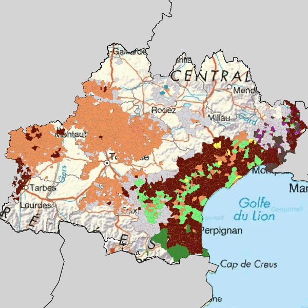
Carte des zones délimitées, de prospection et de traitement 2021 relative à la lutte contre la flavescence dorée de la vigne en Occitanie
Simple
Identification info
- Date (Creation)
- 2021-11-23T00:00:00
- Citation identifier
- https://catalogue.picto-occitanie.fr/geonetwork/srv/c850c946-9813-45a7-b207-a51cbe5dd628
Point of contact
-
INSPIRE Service taxonomy
-
-
infoMapAccessService
-
-
Plateforme Occitanie - mots clés géo
-
-
OCCITANIE
-
-
Domaines
-
-
N_SANTE_VEGETALE
-
DRAAF
-
PISU
-
- Use limitation
-
Utilisation libre sous réserve de mentionner la source (a minima le nom du producteur) et la date de sa dernière mise à jour
- Access constraints
- Other restrictions
- Other constraints
-
Pas de restriction d’accès public selon INSPIRE
- Service Type
- view
- Description
-
OCCITANIE
))
- Coupling Type
- Tight
- Coupled Resource
-
Operation Name Scoped name Identifier GetCapabilities
sections_pci 9fd8fdfc-b3a7-4c44-adba-da10c895412f
GetCapabilities
localisants_pci 4cb74c78-f295-4d09-a5b2-438d0ff6fec3
GetCapabilities
layer202 415aea54-19b5-4c4c-8c9a-122aeb4834e3
GetCapabilities
layer201 4058344b-93d4-455c-ad83-2ac2b1769654
GetCapabilities
commune_adm_r76 1eb599ae-7260-438f-b679-b8bf543d0cc4
GetCapabilities
ZonedelimiteedanslecadredelaluttecontrelaflavescencedoreeenOccitanieen2021 d512e7b3-3cef-4e9b-a99f-e44712e50204
GetCapabilities
Parcelles_atteintes_de_jaunisse_de_la_vigne eee8cf26-6482-49cf-be94-07b338c90223
- Contains Operations
-
Operation Name Distributed Computing Platforms Connect Point GetCapabilities
Web services https://datacarto.picto-occitanie.fr/wms/Flavescence_Occitanie?service=WMS&request=GetCapabilities GetMap
Web services https://datacarto.picto-occitanie.fr/wms/Flavescence_Occitanie?service=WMS&request=GetCapabilities GetFeatureInfo
Web services https://datacarto.picto-occitanie.fr/wms/Flavescence_Occitanie?service=WMS&request=GetCapabilities
- Reference system identifier
- EPSG / RGF93 / Lambert-93 (EPSG:2154) / 7.9
- Units of distribution
-
liens associés
- OnLine resource
-
Protocol Linkage Name application/vnd.ogc.wms_xml
https://datacarto.picto-occitanie.fr/wms/Flavescence_Occitanie?service=WMS&request=GetCapabilities
- Hierarchy level
- Interactive map
Conformance result
- Date (Publication)
- 2021-11-23T00:00:00
- Pass
- Yes
Metadata
- File identifier
- c850c946-9813-45a7-b207-a51cbe5dd628 XML
- Metadata language
-
fre
- Character set
- UTF8
- Hierarchy level
- Service
- Hierarchy level name
-
service
- Date stamp
- 2022-02-24T16:43:36
- Metadata standard name
-
ISO 19115:2003/19139
- Metadata standard version
-
1.0
Metadata author
Overviews
Spatial extent
Provided by
